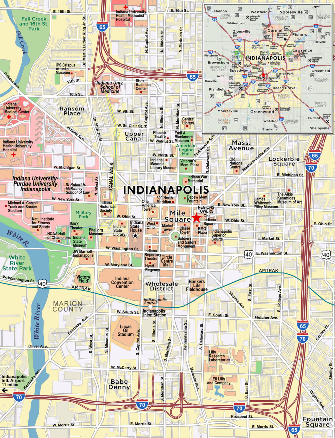
Red Paw Technologies creates custom print and web-ready maps for clients locally, nationally and internationally, as well as fully interactive web maps.
Red Paw specializes in custom cartography and mapping solutions that include many urban communities across North America such as the Indianapolis Metropolitan Area. We offer customizable services to meet your map making needs. Some of our services include:
- Custom Cartography: Offering the highest quality maps for real estate, marketing, urban planning, and higher education.
- Interactive: Fully interactive maps that allow full customization for maximum utilization.
- GIS Consulting: Geographic Information Systems services in Indianapolis and surrounding areas, useful for project management, modeling, and construction.
- Demographic Analysis: Red Paw specializes in map creation based on the most up-to-date demographic data at the census block, tract, zip code, county or statewide levels.

Why Red Paw for Your Business?
- Thorough and targeted research.
- Full creative process including rough draft and mockups tailored to your needs.
- Unmatched reliability and service.
- All files are created in vector format — able to be modified and scaled for high quality prints at all sizes. Vectorized maps are available at no additional charge.
